
In 2015, local walkers who wandered along the Camino de Santiago joined forces to create a long-distance walking trail throughout the archipelago.
The founding committe, formed by Carole Longuépée, Carole Turbide, Fernande Petitpas, Claire Boudreau, Réal Jomphe and Jean Bouffard, was joined by a team of volunteers to ensure the sustainability, maintenance and improvement of the trails.
In the spring of 2016, the committee of the trails Sentiers Entre Vents et Marées (SEVEM) presented its project via the Club de plein air des Îles (outdoor club) with the help of various partners. Trail markers where installed during the summer of 2017. And it keeps growing! Over time, some steps will be modified due to rights of way acquisition on private lands, a process that will last a few years in order to maximize the wealth of this circuit. Discovering the Islands on foot - an invitation to explore our hidden treasures...
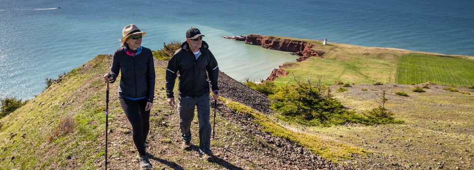
This walking trail goes around the Islands through natural and groomed trails, as well as back roads and long stretches of beaches (where possible). Thirteen septs lasting anywhere from 10 to 28 km shape this 230 km long secure and marked circuit, which promotes the protection of our environment. As for the level of difficulty, it ranges from intermediate to difficult.The trails suggest some stops in various villages of the archipelago. With its outstanding landscapes, this long trek offers a combination of physical, cultural and spiritual aspects.
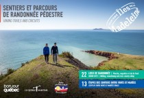 A new edition of this booklet illustrating hiking trails and the 13 steps of the Sentiers Entre Vents et Marées including the Passeport du Louvoyeur is now available at the Information Tourist Centre.
To order it, please contact us!
 Markers are located in strategic places (forks, junctions, turns, etc.) along the trails. They consist of metal panels (illustration 1 and 2) and stylish shells (illustration 3) posted on various items (sign posts, power poles, rocks, etc.). When you exit the beaches, pay attention to the orange flag (illustration 4) to know which way to go. It is recommended to stay on the designated trails.
This multi-day hike does not include any services. Thus, all walkers are fully responsible for their safety, as well as the organization of their stay on the Islands and all associated costs. Trails are open from May 15th to October 15th.
For the long stretches without services, it is absolutely necessary to carry enough food and water for the day.
Using the Official Tourist Guide, it is recommended to locate the services offered in each step as they might be necessary along the way (drugstores, food services, etc.).
Please note that some public restrooms are only open during summertime.
For the long strolls on beaches, it is recommended to wear good walking shoes and avoid walking barefoot or using sandals.
Trip 50 : Grande Entrée - Cap-aux-Meules
Trip 51 : Havre-Aubert - Cap-aux-Meules
Trip 52 : Étang-du-nord - Cap-aux-Meules
Trip 53 : Central Island
Trip 54 : House Harbour - Amherst
Contact the REGIM 418 986-6050 to reserve your seat:
Many stops are available on demand, according to your needs.
The times of passage and the trips are adapted according
to the reservations.
https://regim.info/en/schedules-and-routes/network-map/
Ultimate souvenir tool, the Passeport du Louvoyeur available at the end of this publication, will allow you to look back on your trip at any given time. This document contains 13 numbered boxes corresponding to the various step numbers. For each step, you can get the stamps of selected businesses with the date of your visit. The list of authorized establishments can be found on the bottom of each step description. Please note that the businesses are located before the end of each step. Make sure you pop in while passing by so you won't have to go back. If you didn't manage to get the stamp of any given step, please contact our Tourist Information Centre for assistance.
This is the certificate name at the end of your journey on the trails Sentiers Entre Vents et Marées (at least 12 steps out of the 13 steps completed). Signed by the mayor of the Municipality of the Îles-de-la-Madeleine, "L'Estran", your certificate of completion, will be given to you (free of charge) at our Tourist Information Centre when showing your "Passeport du Louvoyeur" included at the end of the Guide of Hiking Trails and Circuits.
"Estran" is a geography term which refers to the part of the coastline between the highest and lowest water conditions.
 Tourist accommodations certified "Bienvenue randonneurs" promise accommodations and services adapted to the expectations of the walking clientele : boxed lunches and/or self-catering, washer & dryer facilities, equipment storage areas and trail maps near their establishment.
Cottages, Condos | Hotels | Campgrounds | Resorts |
Appartements Cyrco | Auberge du PortESTABLISHMENT NO : 055882 | Parc de Gros-CapESTABLISHMENT NO : 201876 | Centre nautique de l'IstorletESTABLISHMENT NO : 075482 |
Hôtel-Château MadelinotESTABLISHMENT NO : 055952 | Camping des SillonsESTABLISHMENT NO : 205096 | Auberge La SalicorneESTABLISHMENT NO : 073640 | |
La RéCréationESTABLISHMENT NO : 300669 | |||
Distance: 27.1 km
Duration: 7 hours
Level: Intermediate (half the trail is on sand)
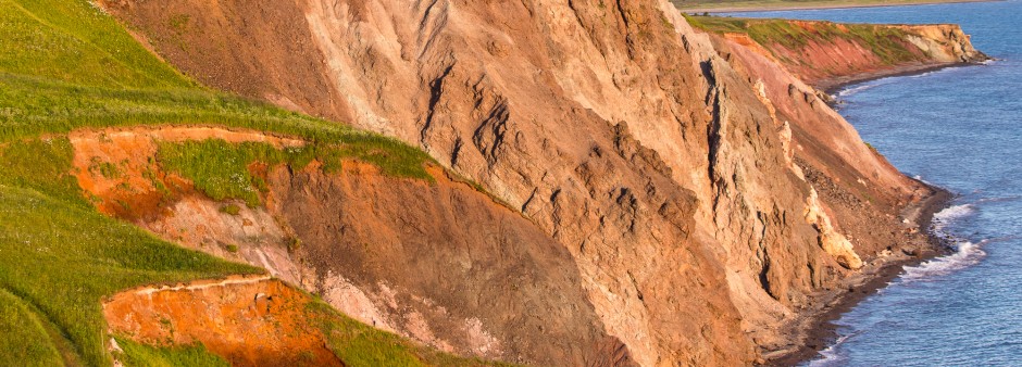
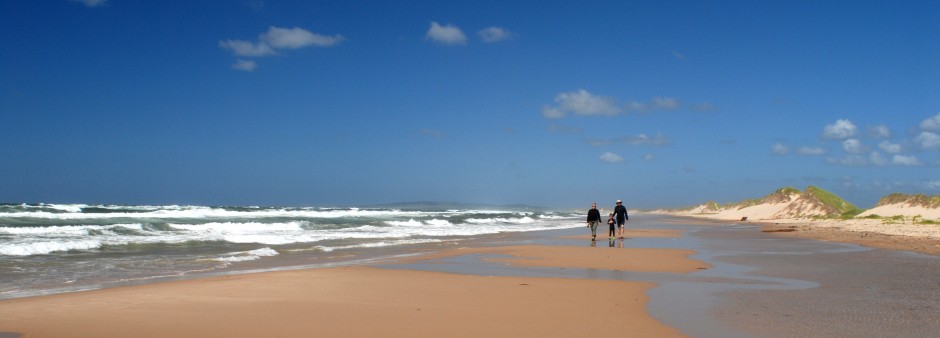
Walk along the Sentier du Littoral and smaller back roads to reach the magnificent beach of La Martinique, which lasts 13 km long. At the end of this costal stretch, discover Les Demoiselles, in Havre-Aubert - small hills offering an incredible viewpoint.
Distance: 28.4 km
Duration: 7 hours
Level: Difficult (half the trail is on loose sand and at an angle)
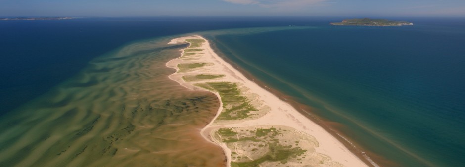
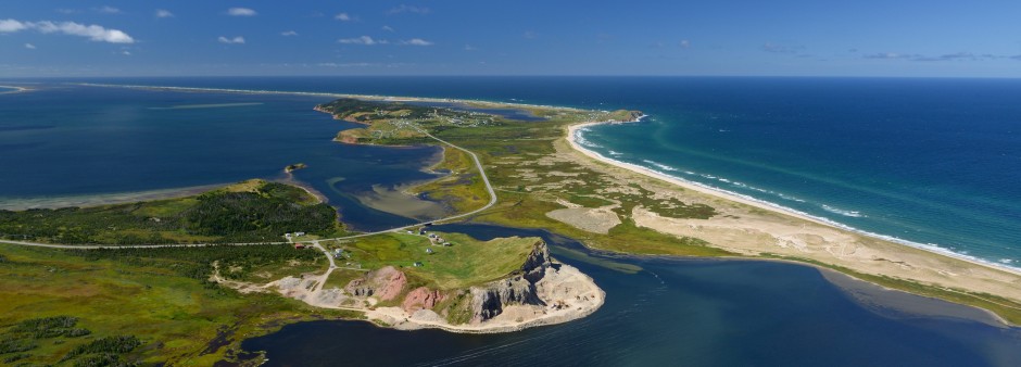
Walk near the historic site of La Grave (save some time to spend a couple of hours there during your stay). Discover the beach hosting the sandcastle contest before setting off on a long journey along the Sandy Hook. Here, you might feel like you are on the edge of the world... you will understand why once you reach the Bout du Banc.
Distance: 16.2 km
Duration: 5 hours
Level: Intermediate
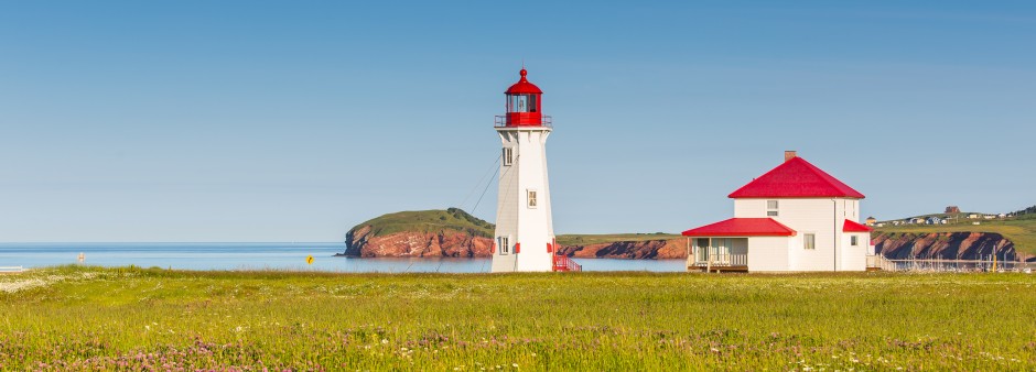
Travel along various roads running between the sea and the hills - a journey offering beautiful viewpoints on colourful houses. The harbour and the lighthouse of L'Anse-à-la-Cabane both deserve to be seen. The last bit of this trail goes through a little woodlot sheltered from the wind, which is located on an uncrowded winding route.
Distance: 21 km
Duration: 5 hours
Level: Intermediate
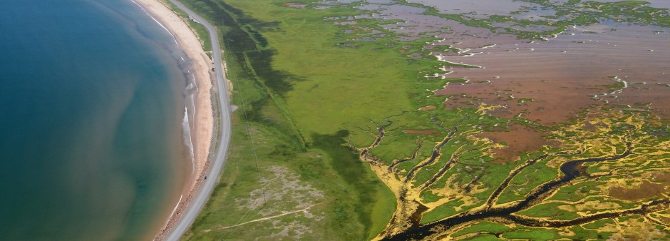
Half the trail runs along Route 199, which offers an incredible view on the bay of Havre aux Basques. You can take advantage of the 5 entry points to the beach of La Martinique and walk on sand whenever you feel like it. Once you reach the end, you can come back on the road. At this point, follow a nice woody trail and smaller back roads to reach the Dune de l'Ouest. Don't miss out on the amazing sunsets at the Site de La Côte.
Distance: 16.5 km
Duration: 4 hours
Level: Intermediate
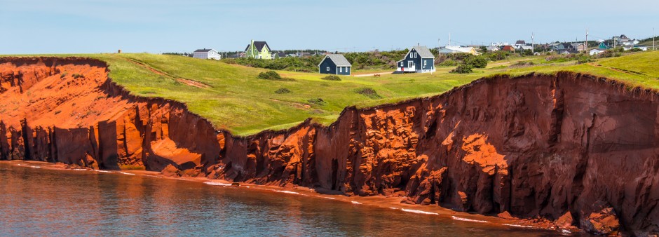
After admiring the magnificent sculpture called Monument aux pêcheurs, at La Côte, walk along the shoreline in a trail made for bikers and walkers, which leads to the Cap Hérissé. A small detour allows you to see the lighthouse from up-close and admire the cliffs of Belle-Anse. Then, it is time to discover the village of Fatima. Since this step is rather short, follow the loop that goes around the township of Cap-Vert and L'Anse-aux-Baleiniers.
Distance: 19.4 km
Duration: 5 hours
Level: Difficult (most of the trail is on loose sand and at an angle)
The Grand Plaquier is worth the detour, as it offers great viewpoints on both Havre-aux-Maisons (just in front) and the bay of Cap-Vert. Halfway through the trail sits a stranded barge dated from 1988, part of which is covered with sand. Lastly, continue your journey towards Pointe-aux-Loups, while admiring the inner bay that the community of kitesurfers treasures.
Distance: 20 km
Duration: 5 hours
Level: Intermediate
In Pointe-aux-Loups, take a moment to visit the Quai Nord and the Quai Sud. Further along, pass the Mines Seleine - the salt mine of Grosse-Île. In this English-speaking village, follow Rock Mountain Road, which offers great viewpoints that are well worth the detour. Visit the small Anglican Church of Holy Trinity, and have a look at the stained-glass windows in which Jesus put on his rubber boots, just like local fishermen do.
Distance: 10.2 km
Duration: 3 hours
Level: Intermediate
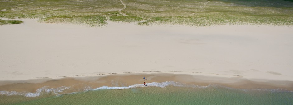
If you feel like it, extend this brief step by visiting both the fishing harbour of Grosse-Île-Nord and this part of the English-speaking village. Then, enter the National Wildlife Area via an incredible trail. At this point, enjoy a wonderful scenery made of wild vegetation and sand dunes leading you to the great stretch of beach called La Grande Échouerie.
Distance: 16.1 km
Duration: 4 hours
Level: Intermediate (partly on the road)
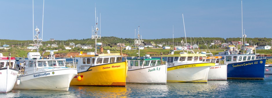
After crossing the township of Old Harry, walk on the Île Boudreau. While strolling along the beach leading to the fishing harbour of Grande-Entrée (the main harbour of the Islands), discover beautiful sceneries. The Site de La Pointe offers various services in season.
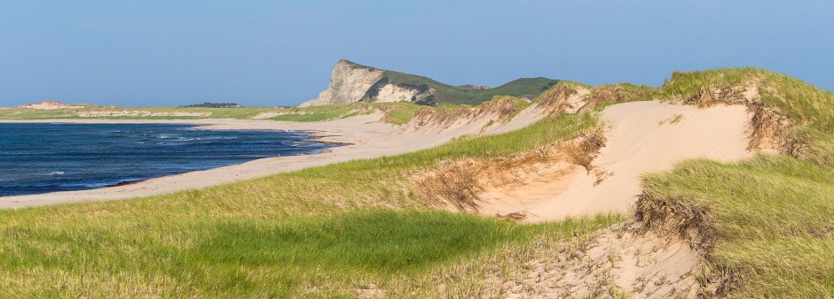
Distance: 11.9 km
Duration: 4 hours
Level: Intermediate
From the Chemin de la Cormorandière, a smaller road guides you towards the Dune du Sud (several kilometres of walking on sand). Enjoy a great view on the lagoon of Grande-Entrée and the long stretch of wild vegetation called Les Sillons.
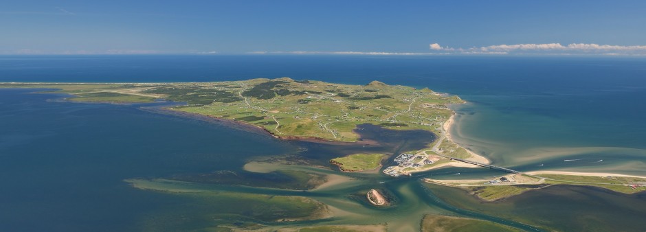
Distance: 18.3 km
Duration: 5 hours
Level: Intermediate
Walk along a series of smaller roads and enjoy wonderful viewpoints. Throughout this section, feel free to visit the various businesses coming your way, which are members of the Food Trail and offer delicious local products. This trail ends near a pretty marina.
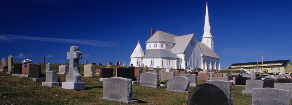
Distance: 18.7 km
Duration: 5 hours
Level: Intermediate
Cross the bridge and get to the island of Cap-aux-Meules where smaller back roads run through various townships. Then, follow a woody road leading to the Butte du Vent - a summit offering a 360-degree viewpoint. Visit the incredible wooden church of La Vernière, which is the 2nd largest wooden church in North America, as well as a heritage building began.
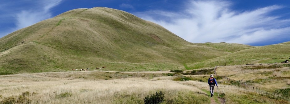
Distance: 9.1 km
Duration: 3 hours
Level: Intermediate
You will be enchanted by the subtle hues of Entry Island's hills and landscapes. From Big Hill — the highest point of the archipelago — you will enjoy a breathtaking vista over the Islands.