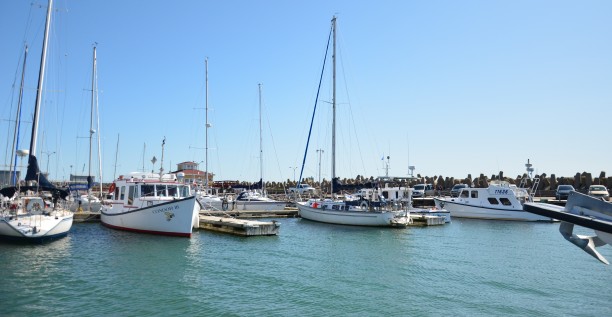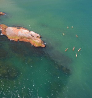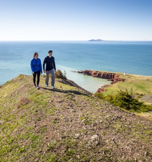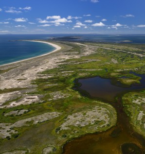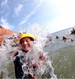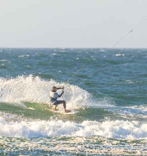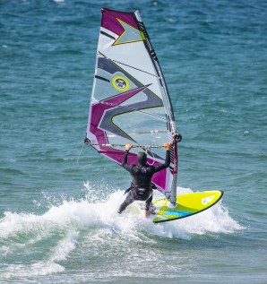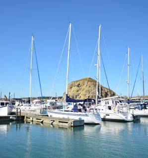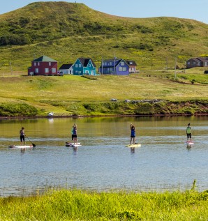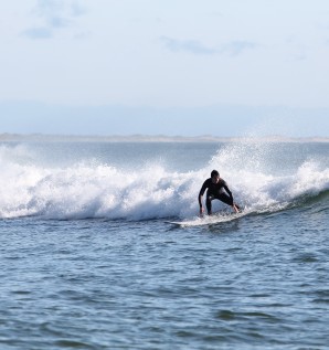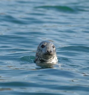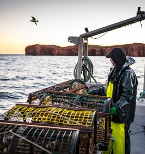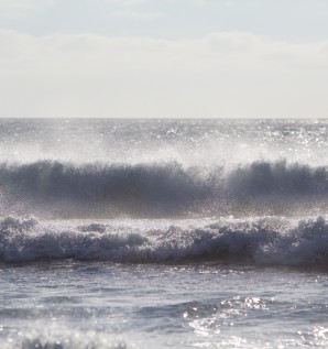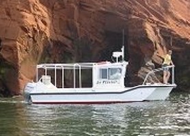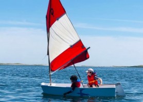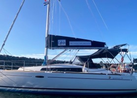

Discovering the Islands by sea is one of the best ways to appreciate this environment.
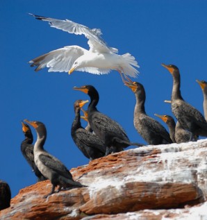
Why not explore the shores, observe caves and cliffs, visit Entry Island, observe the seals, bird watch, go fishing while on a boat excursion!
On the archipelago, you will find boat tour services, equipment rental and competent guides to lead you.


5 results