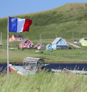
Madelinots are proud of their origins and, through the years, they have preserved their distinctive way of speaking.
During your visit, you'll probably notice that accents vary from island to island. This is a precious heritage that visitors find interesting and even charming.
Evening gatherings with Madelinots are usually enlivened with music of Les Îles. Many musicians write both the music and the lyrics of their songs. And they love an audience!


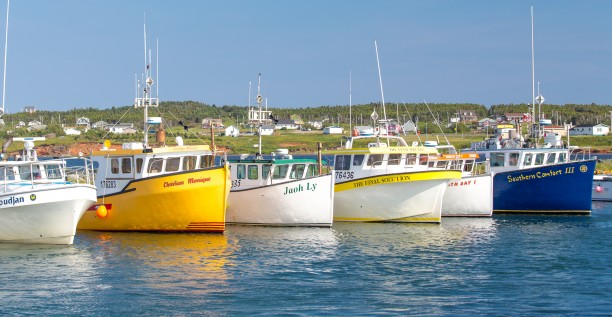
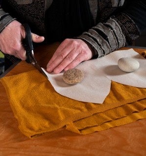
Discover "Les Îles" through various portraits of people who live there.


Whether you're a fan of art, a biking enthusiast or again you like to feast with your palate and your eyes, here's a variety of circuits and itineraries that are sure to please you.
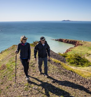

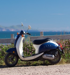
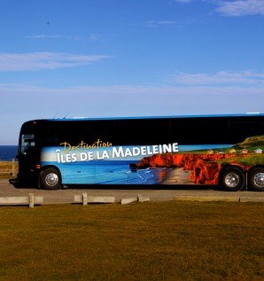
The best way to explore Les Îles is to travel through them!
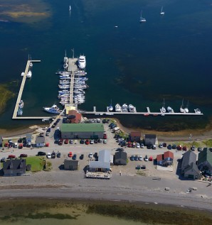
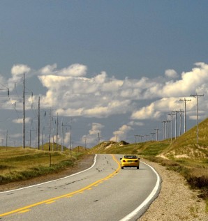
Once you get here, you'll have a choice of ways to move around and explore the archipelago. Choose the one that best suits your fancy!
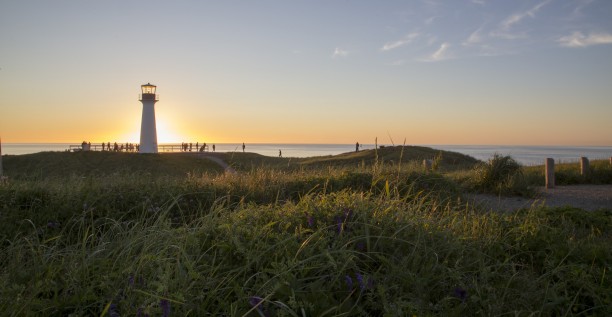
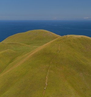


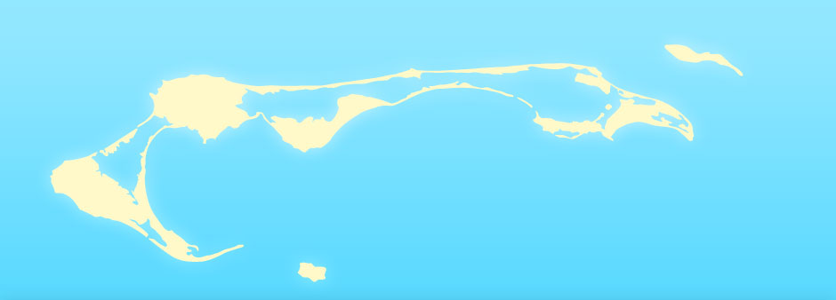
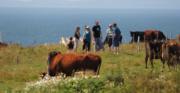
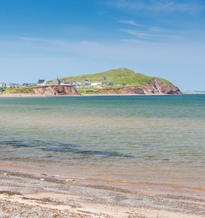
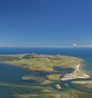
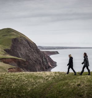
The ecology you'll discover on Îles de la Madeleine is both rich and fragile. This is true of its varied elements, its size, its origins and its evolution.


Please take a moment to look up the following pages. This will ensure that you have all the information you need to plan your visit.